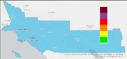
This interactive map provides current air quality levels and health recommendations at a neighborhood scale for the entire South Coast AQMD jurisdiction. This map blends data from regulatory monitoring data operated by South Coast AQMD, hundreds of low-cost fine particle pollution sensors, and a forecast model to generate air quality index values at 1,218 locations. For details of this methodology, see How is my AQI determined?

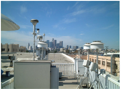
Choose monitoring sites to see the most current pollutant and meteorological measurements. Unlike the map above, this site only shows data for pollutants measured at each site and does not report AQI values.
Data presented on U.S. EPA's AirNow website uses South Coast AQMD's monitoring data for locations within the South Coast AQMD jurisdiction.
A description of the AQI levels and South Coast AQMD recommended cautionary statements can be found at Air Quality Index (PDF, 348kb).
Related Information:
Wildfire Smoke & Ash Health Information & Safety Tips
Sign-up for Air Alerts
(Customizable email alerts)
Please visit https://saltonseaodor.org for current hydrogen sulfide (H2S) monitored values in the Salton Sea area or to sign-up for H2S alerts.
How to check the Air Quality Index (AQI)